Route highlights
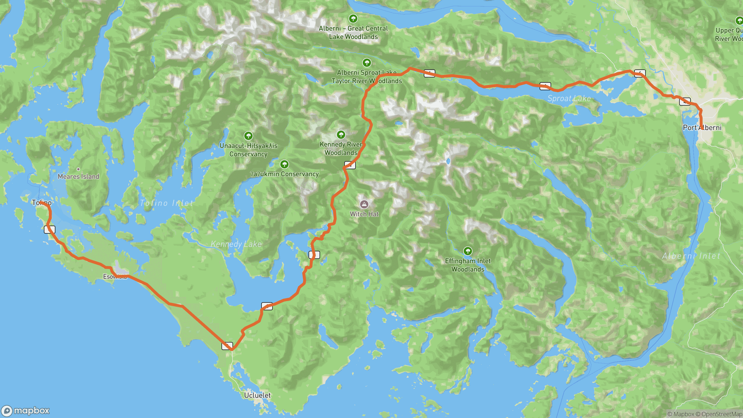
The drive breaks into 3 distinct sections.
Sproat Lake
Long lakeside arcs west of Port Alberni. Warm-up section with good pavement and steady rhythm.
Kennedy Hill
The tightest part of the route, rebuilt in recent years — rock walls on one side, the Kennedy River below on the other.
Kennedy Lake to Long Beach
The road settles down along Kennedy Lake, then rolls through coastal rainforest to the Tofino–Ucluelet junction.
Before you go
Best time
Early morning in summer, before day-trip traffic. Shoulder seasons are quiet and moody.
Watch for
Logging trucks on weekdays and coastal fog. Check DriveBC for Kennedy Hill work before you go.
Worth a stop
Cathedral Grove's old-growth firs east of Port Alberni, and Wally Creek's ocean viewpoint.
Fuel & food
Fill up in Port Alberni — next reliable fuel is at the coast, ~100 km later.
Drive it with REVV
Turn-by-turn route guidance built for scenic drives — launching soon on iPhone.
Join the waitlist