Route highlights
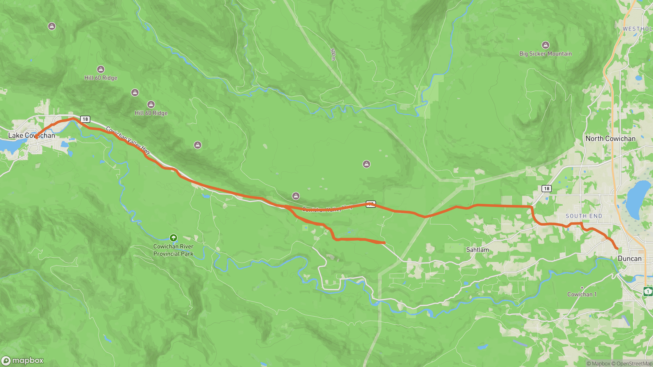
The drive breaks into 3 distinct sections.
1
Duncan outskirts
Farmland gives way to forest as the road picks up the Cowichan River valley.
2
River section
The best stretch — the road and river weave together under a full tree canopy.
3
Lake approach
Corners relax as you roll into the town of Lake Cowichan at the lake's east end.
AD
ad slot (responsive banner)
Before you go
Best time
Summer afternoons — the canopy keeps the road cool when everything else bakes.
Watch for
Local traffic turning to river access points, and cyclists on summer weekends.
Worth a stop
Swimming holes along the Cowichan River; Kinsol Trestle is a short detour south.
Fuel & food
Services in Duncan and Lake Cowichan at either end.
Drive it with REVV
Turn-by-turn route guidance built for scenic drives — launching soon on iPhone.
Join the waitlist
AD
ad slot (responsive banner)