Route highlights
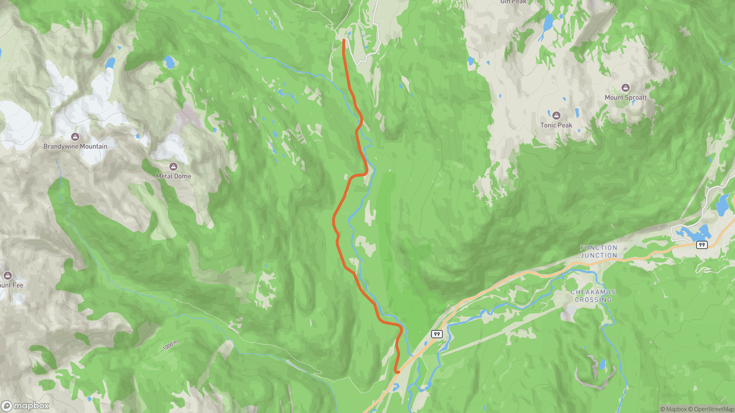
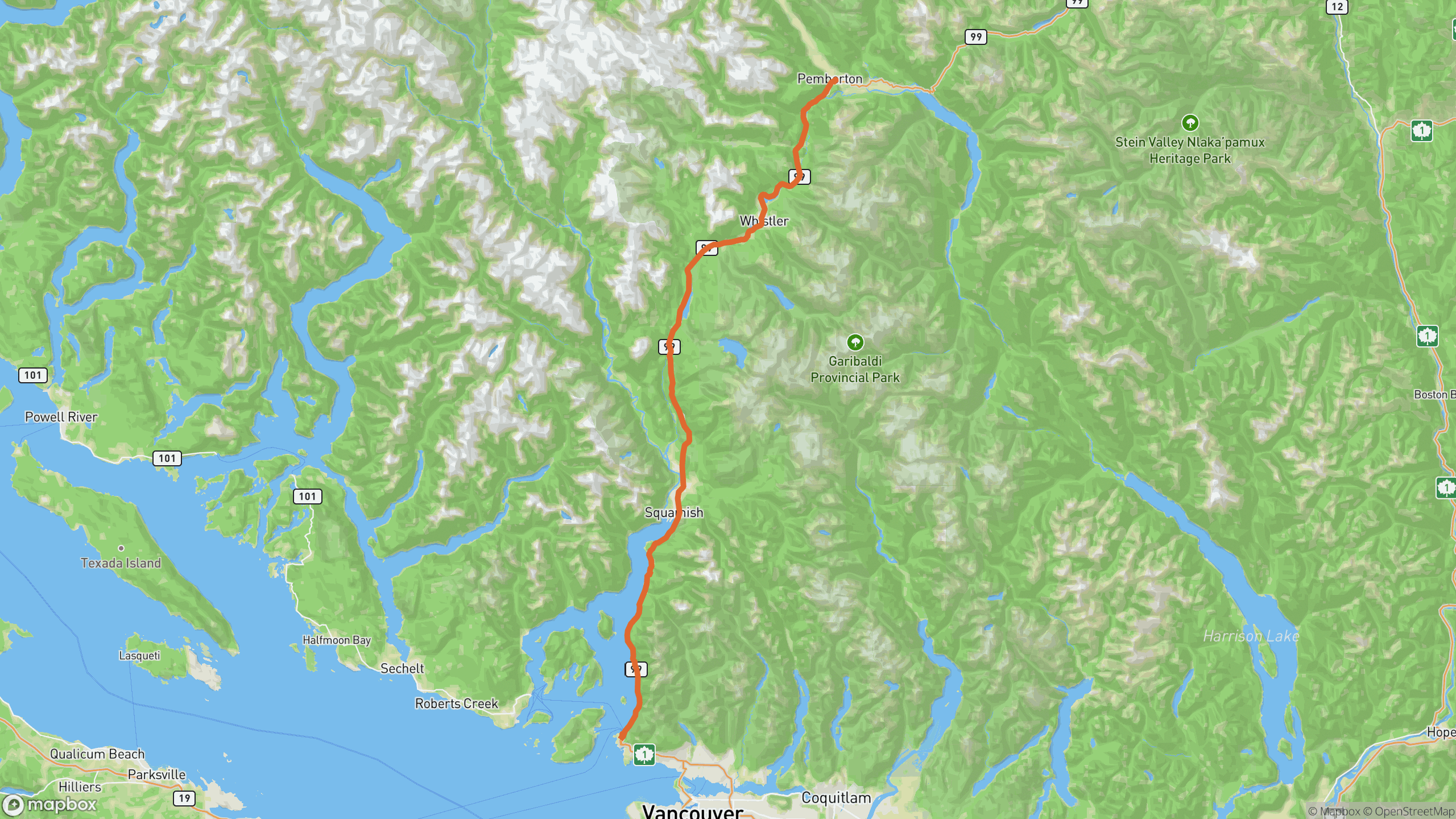
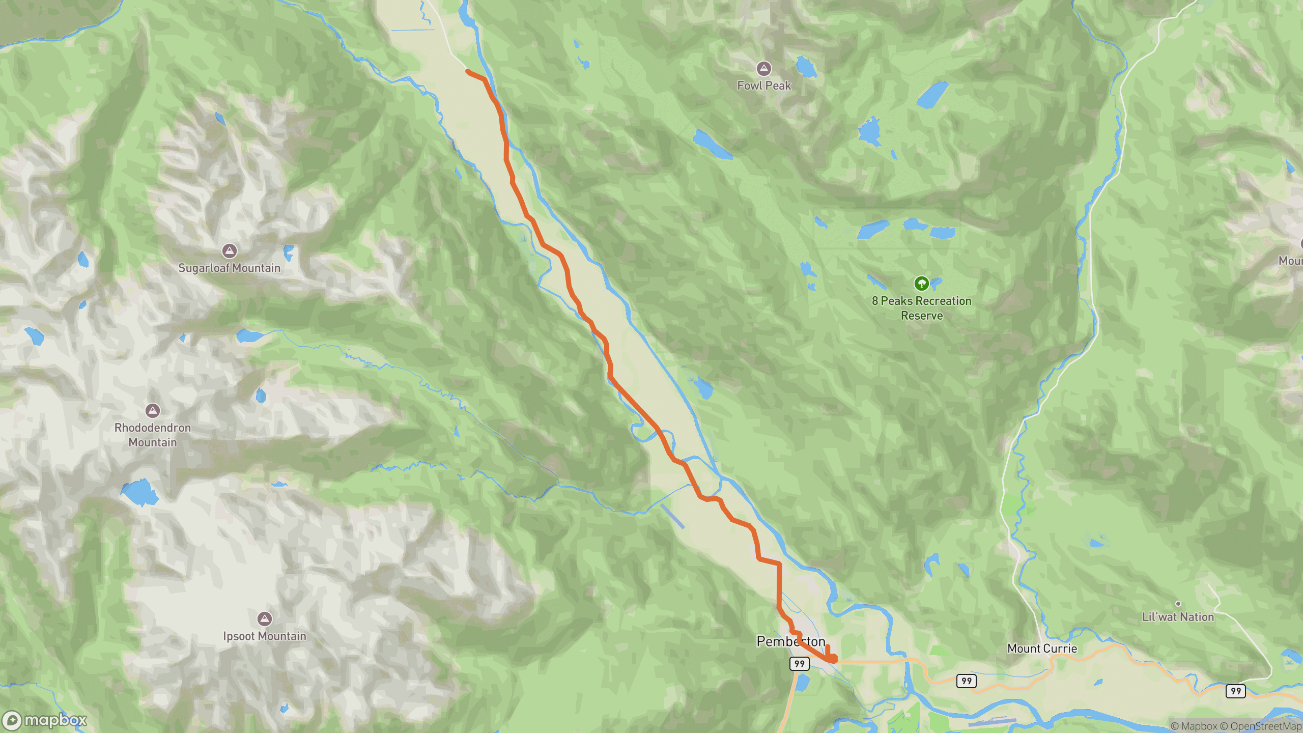
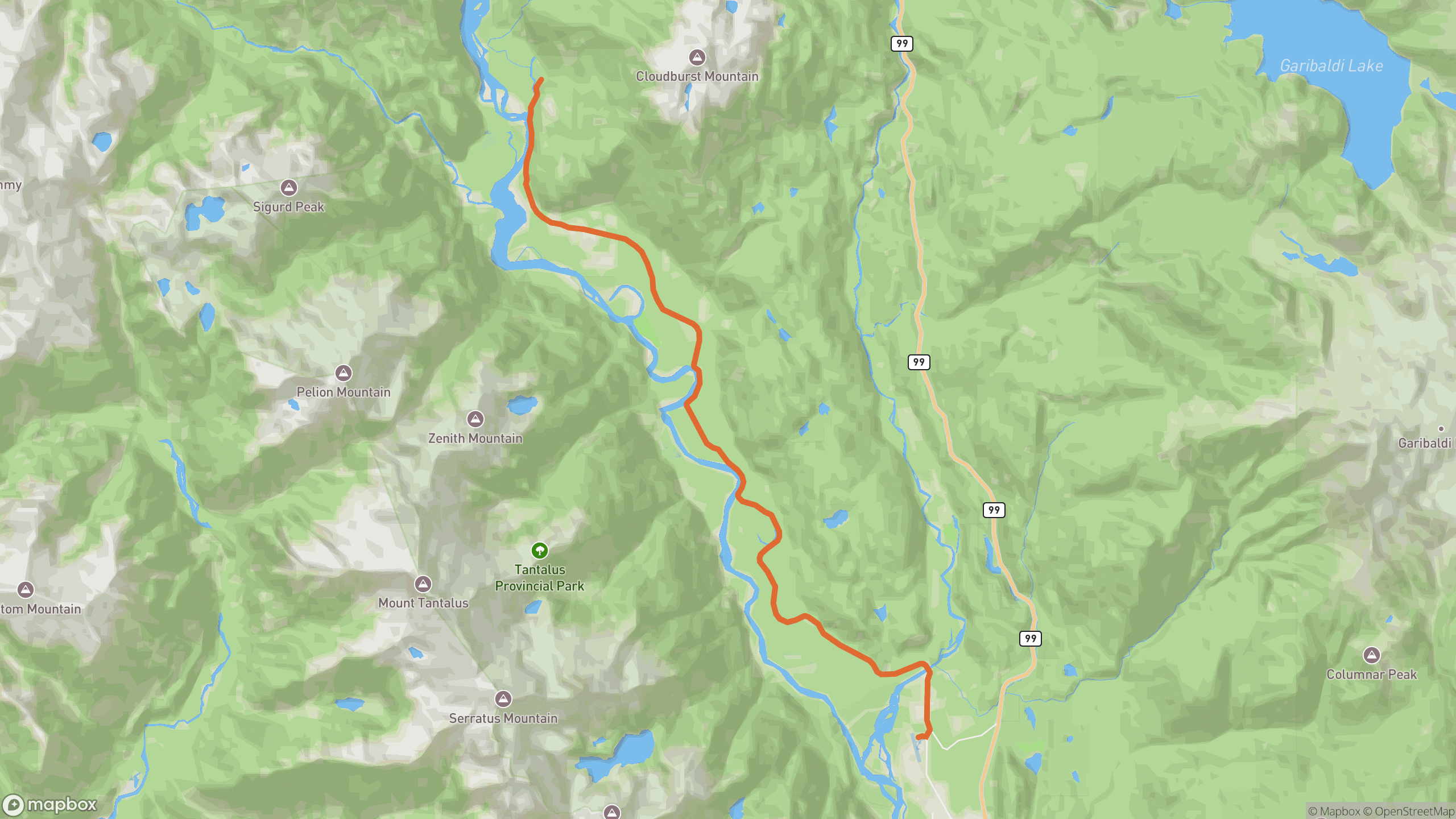
The drive breaks into 3 distinct sections.
1
Cheekye junction
Leave the highway near Brackendale and follow the Cheakamus, then Squamish River.
2
Valley twists
The densest corners on the Sea-to-Sky corridor's back roads — 100°/km along the river flats.
3
Upper valley
Pavement gives way to gravel further up; turn around at the paved end.
AD
ad slot (responsive banner)
Before you go
Best time
Clear mornings — Tantalus Range glacier views across the river.
Watch for
Eagles in winter (and their spectators), plus recreation traffic to campsites in summer.
Worth a stop
Eagle viewing dykes in Brackendale; riverbank pullouts up-valley.
Fuel & food
Back in Squamish — nothing up the valley.
Drive it with REVV
Turn-by-turn route guidance built for scenic drives — launching soon on iPhone.
Join the waitlist
AD
ad slot (responsive banner)