Route highlights
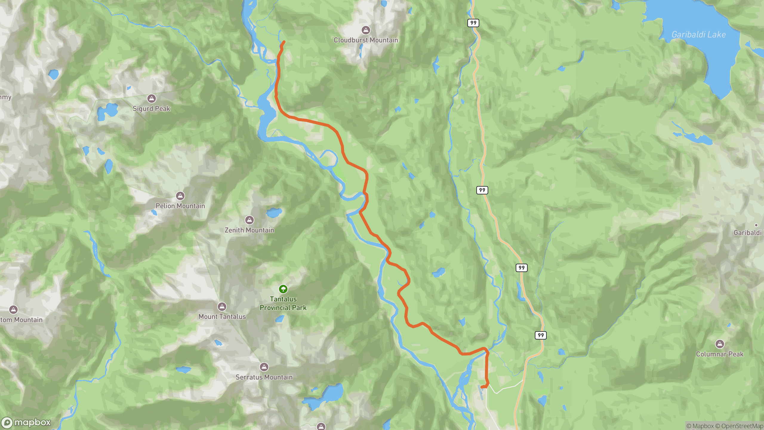
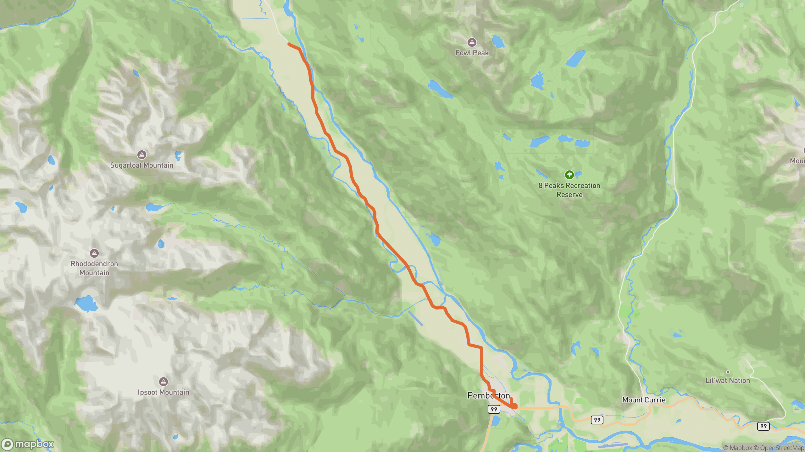
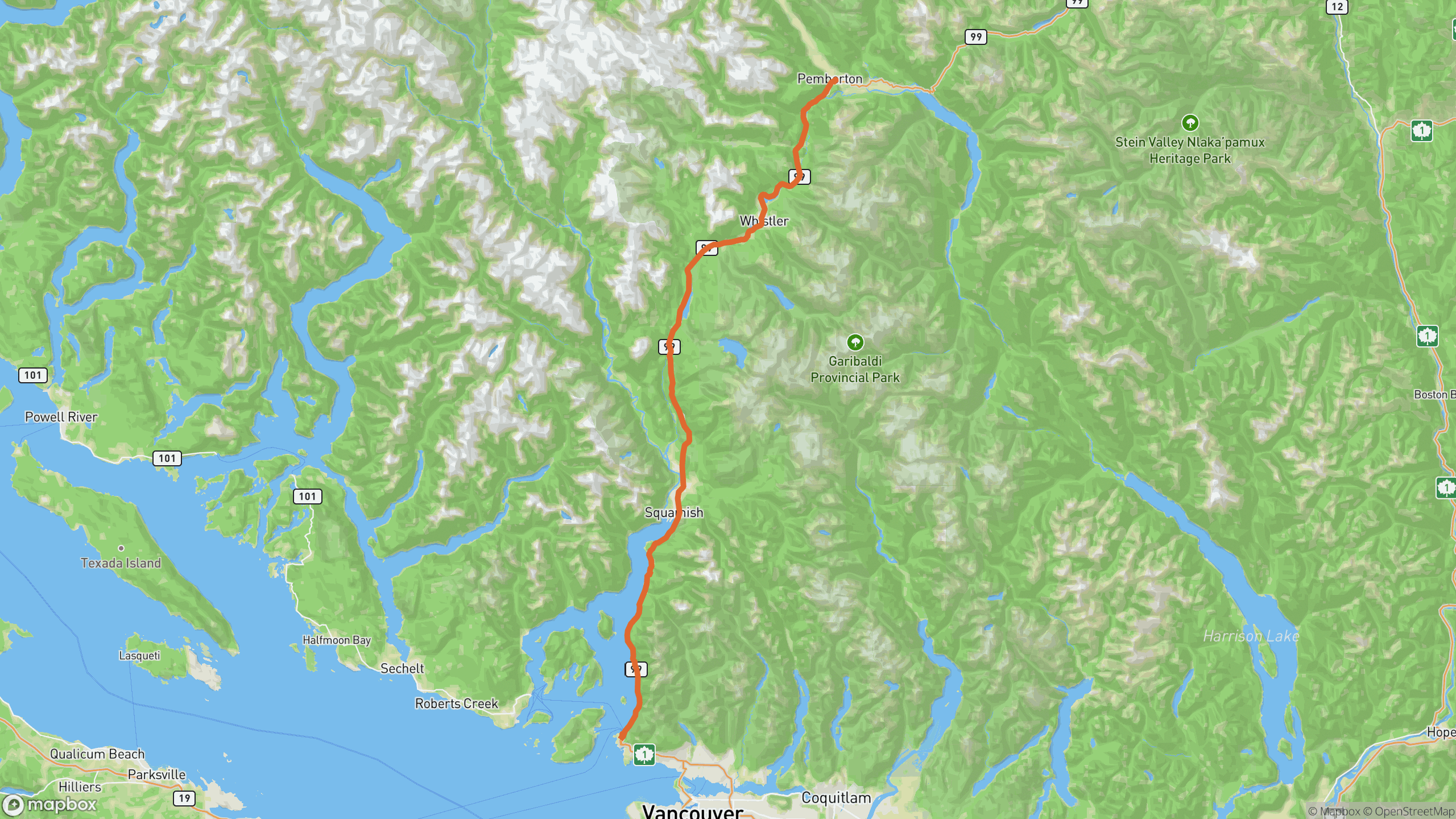
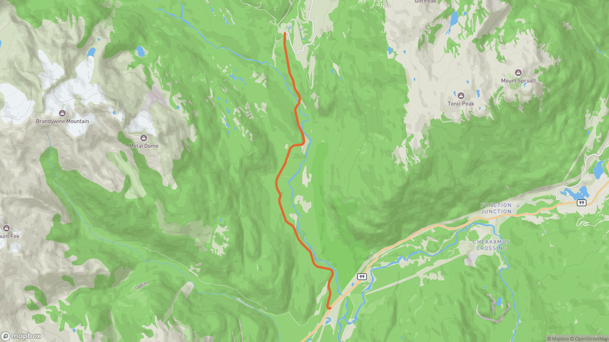
The drive breaks into 3 distinct sections.
1
Highway 99 turnoff
The road leaves the Sea-to-Sky and immediately starts working uphill.
2
Switchback climb
Stacked hairpins and ramps through tall timber — 99°/km packed into under 10 km.
3
Valley plateau
The grade eases into the open Callaghan Valley, ending at Whistler Olympic Park.
AD
ad slot (responsive banner)
Before you go
Best time
Summer and early fall mornings. It's plowed in winter but conditions vary — check ahead.
Watch for
Black bears are common on the verges. Watch the road edge in shaded corners.
Worth a stop
Alexander Falls viewpoint near the top — right beside the road.
Fuel & food
None on the road itself — sort it in Whistler or Squamish.
Drive it with REVV
Turn-by-turn route guidance built for scenic drives — launching soon on iPhone.
Join the waitlist
AD
ad slot (responsive banner)